
Whistler could see its first big snowfall of the new year on Friday night (did somebody say powder day?).
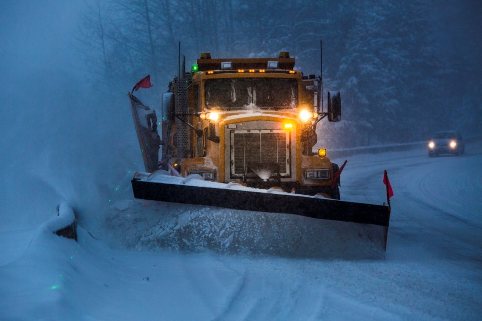
According to Environment Canada, a snowfall warning is in effect for Whistler and the Sea to Sky, with up to 20 centimetres expected by early Saturday.
"An approaching frontal system will bring snow to Whistler and the Sea to Sky Highway. The snow will begin near noon and continue into this evening before easing after midnight," reads the warning.
"Snowfall amounts of 15 to 20 cm are expected by Saturday morning with snow levels hovering near 400 metres for this event. Visibility may be suddenly reduced at times in heavy snow. Be prepared to adjust your driving with changing road conditions."
The 2023-24 ski season has not been generous to date. As of the first week of January, Whistler Blackcomb had a base depth of about 99 centimetres, with 147 of 234 trails open and 23 of 27 lifts operational—about 63 per cent of the resort.
Other ski resorts weren't faring much better.
As of Friday morning, Jan. 5, the avalanche danger rating in the Sea to Sky region is moderate to considerable.
"With a forecast of fresh snow falling with strong winds, expect to find an increasingly reactive snowpack and avalanche hazard highest at the end of the day," Avalanche Canada said on its website.


