BACKCOUNTRY ADVISORY—AS OF WEDNESDAY FEB.3
The Sea-to-Sky region got a nice refresh of new snow last weekend and into the early part of the week. The storm was a significant one, bringing up to 100 centimetres of new snow to some parts of the region and strong winds—resulting in an avalanche cycle.
With the stormy weather behind us, the days ahead are looking cool and dry. The weekend will probably bring some sunny days, but with strong north winds in the forecast, it may still be pretty chilly!
The good weather on the horizon might make it tempting to venture out into some bigger terrain in the backcountry, but there are some lingering problems in the snowpack that require some careful consideration. All of that new snow landed on a persistent weak layer, creating a persistent slab avalanche problem. These avalanches become increasingly difficult to predict over time, they often catch people by surprise, and they tend to be big enough to carry some serious consequences. With the weak layer in question now under nearly a metre of new snow in many areas, avalanches triggered on this layer definitely have the potential to be large and destructive.
The best tool for managing this type of problem is to stick to conservative terrain. Choose low angle slopes, avoid steep roll-overs, minimize the time that you spend under big slopes, and be aware that this problem exists in the trees too, so the trees may not offer the safe riding conditions that we often associate them with.
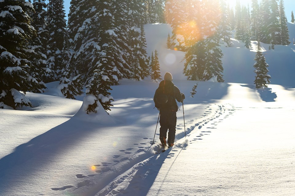
It can be easy to get amped up when we see the sun and to start thinking about tackling big objectives, but this weekend is not the time to be pushing into more committing terrain, regardless of what the avalanche danger rating might be. It’s not all doom and gloom though, and with appropriate terrain choices, it looks like it will be a beautiful weekend to get out into the mountains to enjoy some fresh air and sunshine!


