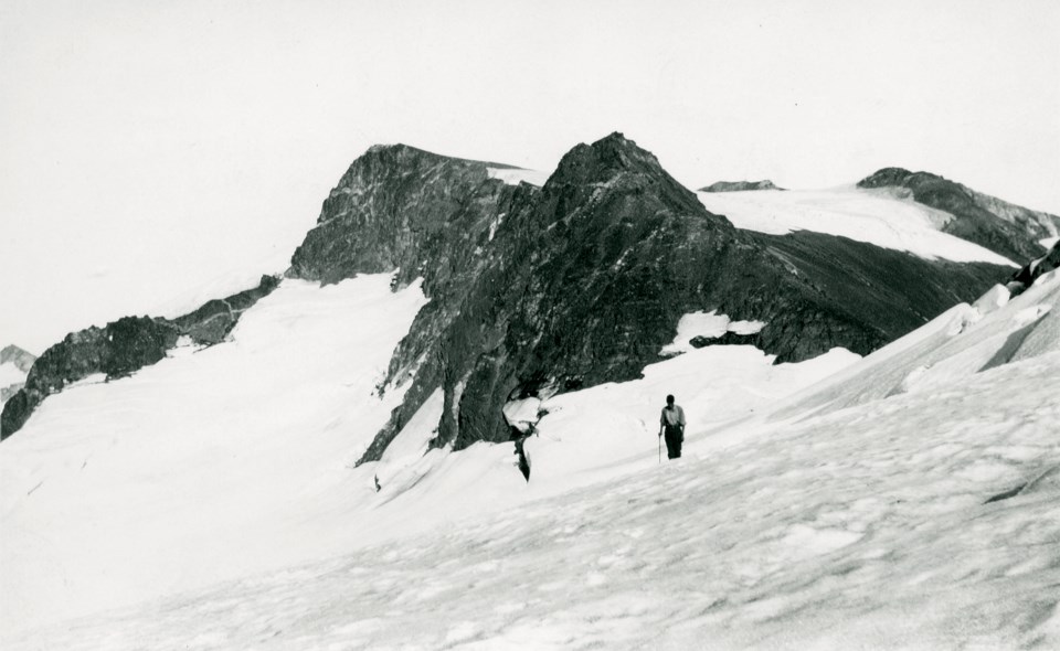
In 1923, prior to his September expedition with Charles Townsend, Neal Carter spent the summer in the midst of a waterpower survey covering the area from Brandywine Falls to Green Lake. Though this work used up most of his time, Carter took every chance he could to take in his surroundings and note what peaks he was interested in climbing.
As a result, Carter wrote to his friends Don and Phyllis Munday, two experienced mountaineers living on the North Shore. In his letter, he described all the mountaineering possibilities of our local mountains, convincing them to make the trek up. While here, the couple made the first recorded ascent of Blackcomb Mountain, as well as Overlord Mountain. Though Carter could not join them for these climbs due to his work, they shared their findings, which contributed to Carter’s research of the area, and subsequently his 1924 map of Garibaldi Park.
The Mundays were well known, and heavily involved in the mountaineering community by this time. Both were members of the BC Mountaineering Club (BCMC) and the Alpine Club of Canada (ACC).
The couple found their passion for climbing mountains prior to meeting each other in 1918. Don moved to Vancouver in 1909, and started his mountaineering career soon after, joining the BCMC in 1910. However, mountaineering was put on pause when the First World War broke out and he enlisted in the Canadian Forces. After serving for almost two years, Don suffered an injury and eventually made his way back to Vancouver. Soon after, he met Phyllis and resumed his climbing ventures.
During this time, Phyllis joined the Girl Guides and climbed the local Vancouver mountains with her troop or on her own. She joined the BCMC in 1915, and continued to be involved with Girl Guides for more than 60 years.
Together, the Mundays surveyed and climbed more than 150 mountains in British Columbia and Alberta, even taking their daughter Edith with them when she was just 11 weeks old.
Like Carter, the Mundays had an impact on the early development of Garibaldi Park, and the Coast Mountains more generally. Most notably, they spent nearly a decade exploring Mount Waddington (the highest peak in the Coast Mountains) and the surrounding region. Though unsuccessful in ascending what they dubbed “Mystery Mountain,” they climbed many surrounding peaks, and their meticulous surveying opened it up for others to make their own attempts.
Carter was one of those mountaineers. In 1934, he, along with representatives from both the BCMC and ACC, started a journey that was unfortunately cut short due to tragedy. The mountain was eventually ascended two years later by Fritz Wiessner and Bill House, two American mountaineers.
According to Phyllis, “we didn’t go into the Waddington country just to climb one mountain and run out … we went into the Waddington country to find out all we possibly could about glaciers and mountains and animals and nature and everything about that particular area.”
As mentioned in an earlier article, these mountaineers had a strong purpose to map the regions they explored and share their knowledge. Though there is a risk to this activity, the passion for outdoors exhibited by Carter, the Mundays, and many more is unwavering.
Mapping the Mountains, our temporary exhibit showcasing photographs and stories from the 1923 Carter/Townsend expedition, is on at the Whistler Museum until Nov. 14.


