
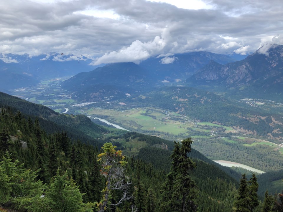
Four popular Pemberton trails will close this month to allow for fuel thinning around One Mile Lake. Spel’kúmtn Community Forest and Líl’wat Forestry Ventures will start the work on Monday, Jan. 8. They received funding for the project from the Forest Enhancement Society of BC.
Incorporated in 2019 as a limited partnership between the Lil’wat Nation and Village of Pemberton (VOP), the Spel’kúmtn Community Forest is a community-led forest located on 17,727 hectares of unceded, traditional Lil’wat land that is designed to promote reconciliation and increase benefits to the respective communities.
The trails closed include:
- Sea to Sky Trail
- Piece of Cake
- Overhill
- Nairn-One Mile
The Sea to Sky Trail will be closed from south of the bridge at One Mile Lake to north of the distinct switchbacks (2 km from Nairn entrance). The entirety of Piece of Cake and the majority of Overhill will be closed. The very northern end of Nairn-One Mile will be closed at the part where it joins Overhill.
The project is part of ongoing work to reduce forest fire risk to Pemberton and its residents. It encompasses high-hazard forest land. The group aims to reduce the rate of spread and intensity of possible fires in the area, while maintaining ecological and cultural values. They also want to enhance public safety and firefighters’ ability to control possible fires.
Lil’wat Forestry Crews will complete manual understory thinning of trees up to 12.5 centimetres. All trees not classified as "danger trees" will be kept. An archaeological assessment of the area was completed before the start of the project. No known archaeological sites were removed from the area.
In a statement on its website, Spel’kúmtn Community Forest acknowledged the inconvenience to locals.
“We recognize this is a high-use trail area and Líl'wat Spirited Ground. Extensive engagement has been done with Líl'wat Nation and trails organizations,” officials said. “Key planning parameters were to reduce impacts to trails and sensitive ecosystems while still achieving risk reduction objectives. Líl'wat Forestry Crews will be conducting the work—manual pruning, piling and burning.”
More information about the project can be found here.


