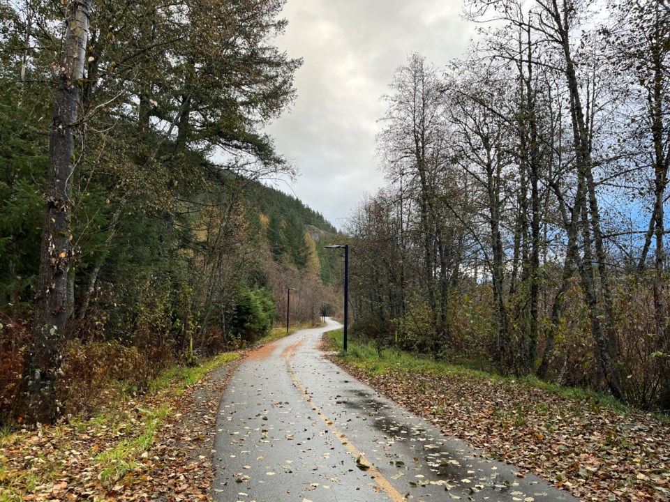
Another gap in the Valley Trail could be closed in the near future, with the Resort Municipality of Whistler (RMOW) pondering the possibility of an all-new stretch of trail along Alpha Lake. The gap in the trail is between Alta Lake Road and Alpha Lake Park, separating the trail to Function Junction from the rest of the network in Creekside on the northern side of the valley.
Work on feasibility studies and alignment options began back in 2021, the RMOW’s parks planner, Lorne Russell, explained at the March 19 regular council meeting, adding staff are seeking approval to make Crown Land Use applications to the province for three segments of land along the north side of Alpha Lake so studies can continue.
Four alignments were assessed, the preferred option being through Pine Point Park, with either a floating trail or a boardwalk found to be the strongest of all options when assessed on environmental outcomes, capital cost, lifecycle, construction complexity and visual impacts, among other criteria.
“The Option 1 alignment as a floating trail or a boardwalk … was selected for further consideration. This alignment is the desired line for most users, and is able to provide grades below eight per cent,” said Russell, adding the alignment minimizes environmental impacts, “provides an opportunity for an exceptional resort experience,” and links two existing parks.
The other options (another on the north side of the lake and two on the south side) were found to be too steep or included railway or highway crossings.
Russell explained for the feasibility study to continue the RMOW will need to submit Crown Land Use applications for three segments of land along the lake shore: An old log sort location on the west side of the lake, and two 20-metre-wide corridors of aquatic Crown land between the lakeshore and the CN Rail right-of-way to both the east and west of Pine Point Park.
On the aquatic land application to the east of Pine Point Park, Russell said that segment was “a Plan B submission.”
“Our primary goal here would be to attempt to negotiate with CN Rail the use of the existing gravel pathway that currently exits Alpha Lake heading towards Pine Point Park,” he said. “This is an unpermitted trail currently, so it’s in our best interests to have a Plan B in the event that that negotiation is unsuccessful.”
Russell explained the Crown Land Use application is part of the feasibility process to check that the preferred alignment is even possible, and doesn’t constitute any commitments to construction.
The environmental implications of studying a boardwalk or floating trail were discussed, and Russell said an environmental impact study confirmed the preferred alignment is not within suitable spawning habitat of the lake. He added the project appears to be suitable for the proposed work, pending some conditions, such as a nest survey; that any boardwalk or floating trail be installed between two to five metres from the high-water mark and any riparian vegetation; and that a construction and environmental management plan be prepared within Ministry of Environment guidelines.
During questions and comments, Councillor Arthur De Jong queried the rough cost estimate for the options, and was told the range is between $2 million and $9 million, though that is at a conceptual level, and more work is needed to understand actual costs.
“I’m really captured by this project. It is an expressway from Creekside on a bike to Function and really fills a critical need there with our big moves,” said De Jong.
“And the aesthetics … the experiential side of riding that will be outstanding.”
Coun. Cathy Jewett asked if a boardwalk along Alpha Lake would be similar to the existing boardwalk at the Nicklaus North area on Green Lake, to which Russel said yes.
Councillors gave unanimous support to staff to submit Crown Land Use applications to further the project, with Mayor Jack Crompton commenting he was disappointed only that there was not a project already in front of them to support and move ahead with.
For next steps, the RMOW will continue to validate the project’s feasibility by securing permits, agreements, acquisitions and tenures before consulting with the community and interest groups, and going on to develop a cost estimate and secure funding through RMI and grants.
According to the staff report, should works in the study proceed as planned, the RMOW expects a “shovel-ready” project in 2025 or 2026


