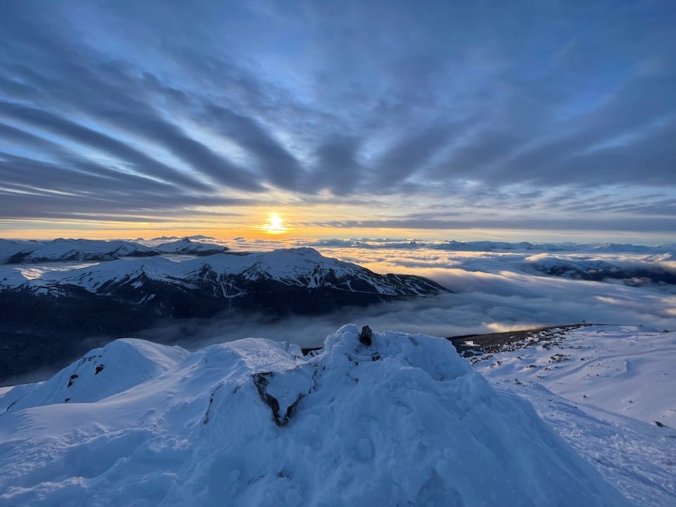
In most years, when we think about the snowpack on the coast, words like deep, warm, and “user-friendly” come to mind. This winter, those adjectives have been replaced by tricky, variable, and complex.
At Avalanche Canada, our public avalanche forecasters also work as guides, educators, and in various other roles with the avalanche industry. They are trained to recognize when conditions are different from what they “normally” encounter or expect them to be. They learn to address these situations by recognizing them and being extra conservative with their decision making until they feel they have a thorough understanding of the snowpack.
It may sound counterintuitive, but the “safest” winter for avalanche hazard would be a winter where it kept snowing a little every day because the most dangerous weak layers in the snowpack are formed during periods of drought. This steady snowfall that much of the coast has been blessed with in many of the past years has been replaced by dry periods between storms and large temperature swings that have created a much more complex snowpack than is typical for the region.
Looking ahead, this weather pattern seems to be continuing with storms followed by dry periods. The key to having fun in the mountains while staying safe is to recognize when conditions are different than anticipated, then adjusting your mindset and decision making accordingly. This is easier said, than done; especially when the sun is shining, the snow is deep, and the stoke is high.
Fortunately, there are loads of courses and other resources available to aid in developing the skills and experience needed to effectively manage your risk in avalanche terrain. Check them out under the “Learn” tab at avalanche.ca.


