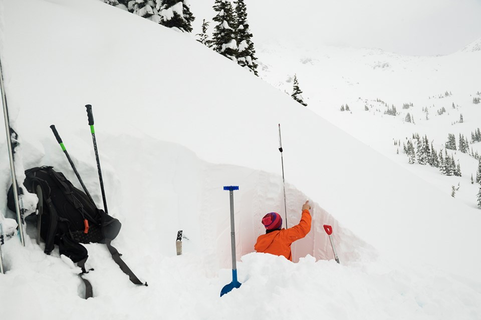
December started out quiet on the weather front. Since then, we’ve been in an active storm pattern that has brought substantial amounts of snow to the region and very strong winds. The wind has shaped the snowpack at treeline and alpine elevations, scouring windward features and loading leeward features.
Storm and wind-slab avalanche problems have been the primary concern with this active weather and a bit of new snow on the weekend will likely keep this trend alive. Unfortunately, some uncertainty also exists deep in the snowpack around the Whistler area.
The uncertainty is due to a hard melt-freeze crust that formed in early December, which subsequently had a weak layer grow around it. If you dig down, you may find feathery surface hoar crystals above the crust, or you may find sugary faceted grains below, within, or above the crust. These persistent weak layers have the potential of lingering for weeks and could form large and destructive avalanches. These weak layers are not found everywhere, so travelling conservatively and making your own observations will be key to a safe day.
Stay on your guard this weekend, as the possibility of triggering large avalanches will remain possible. We encourage all backcountry users to share their observations via the Mountain Information Network. This observation-sharing platform is key for forecasters to reduce uncertainty as well as for fellow recreationists to observe mountain conditions. A big thanks to all of you that have already shared your observations! We hope you have a wonderful holiday, and are able to enjoy the backcountry safe from avalanches.
Avalanche danger for Sea to Sky currently rated 'considerable'
Avalanche Canada's most recent danger ratings for the Sea to Sky area warns backcountry users of considerable avalanche risk in alpine terrain and at the treeline, and low risk below the treeline for the next two days. According to forecasters, an alpine warm-up may stress the snowpack and increase the likelihood of human triggering.
Avalanche Canada issues a Special Public Avalanche Warning for much of Western Canada
On Wednesday, Dec. 23, Avalanche Canada, in partnership with Parks Canada and Alberta’s Kananaskis Country, issued a Special Public Avalanche Warning for recreational users of backcountry and front country avalanche terrain, in effect immediately until Sunday, Dec. 27. The warning is widespread and applies to the following forecast regions:
- Kootenay-Boundary
- South Columbia
- North Columbia
- Purcells
- Cariboos
- North Rockies
- South Rockies
- Lizard Range-Flathead
- Banff National Park
- Yoho National Park
- Glacier National Park
- Waterton Lakes National Park
- Kananaskis Country
The warning does not apply to the Sea to Sky.
Avalanche Canada warns those heading to the mountains to snowshoe or explore the front and backcountry to also be aware that many popular summer trails are exposed to avalanche terrain. Plan ahead and research your route to make sure you are avoiding these areas, or hire a certified guide to lead your party. For more information, visit the Parks Mountain Safety website.
Backcountry users should always check their regional avalanche forecasts available on Avalanche Canada's website. Everyone in a backcountry party needs the essential rescue gear—transceiver, probe and shovel—and the knowledge to use it.


